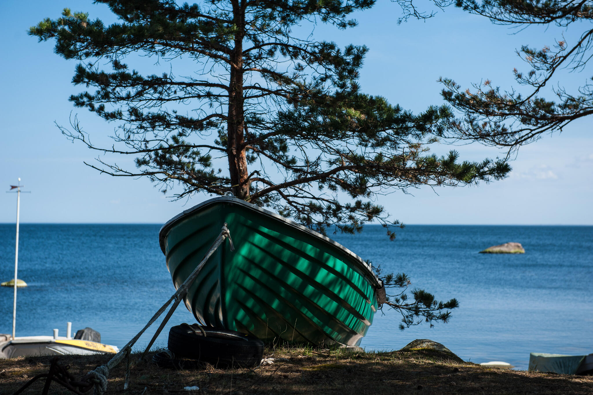
Ülesaare kämping asub saare idakaldal, Kelnase sadamast 10 minuti jalutuskäigu kaugusel, külakeskus ja Prangli pood asuvad meist samuti 10 min jalutuskäigu kaugusel. Hubastes kämpingumajades pakume majutust 24-le inimesele, lisaks on saunamaja, unikaalne koopasaun ja väliköök suure varikatuse aluse söögilauaga.
Tere tulemast Prangli saarele Ülesaare puhkekeskusesse!
Koopasaun
Otse mere kaldasse merekividest ehitatud koobassaun pakub mõnusat tava-
ja aurusauna vahepealset leili. Hea võimalus saunast otse merre joosta.

Prangli Resto
Prangli
saare-resto on Eesti põhjapoolseim restoran. Kütkestava vaatega restoranis saab
nautida mere ja taeva vaatemänge iga ilmaga. Menüüst leiab igaüks midagi. Reede ja laupäeva öösiti restos disko.

Saunamaja
Majas on avar eesruum suure peolauaga, miniköök ning suur saun, wc. Teise korruse lavatasil mõned madratsid lisamagamiskohtade jaoks

Prangli pood
Prangli pood on saare südames asuv armas väikepood, kust leiab kõik
esmavajaliku. Hämmastavalt hea sortiment nii väikse saarekese kohta-- kaupa leidub esmatarbekaubast šampanjani. Vaata siit:

Kämpingud
Ülesaare kämpingus on 6 väga omanäolist murukatusega majakest. Osades majades on narivoodid, teistes nari ja kaheinimesevoodi. Majad on linnuliikide nimedega.

Saaretuurid giidiga
Korraldame giidiga saareekskursioone suurema ja väiksema kastiautoga, millel on istekohtadega järelhaagis. Taksoteenus. Kokkuleppel meretransport kiirkaatriga
